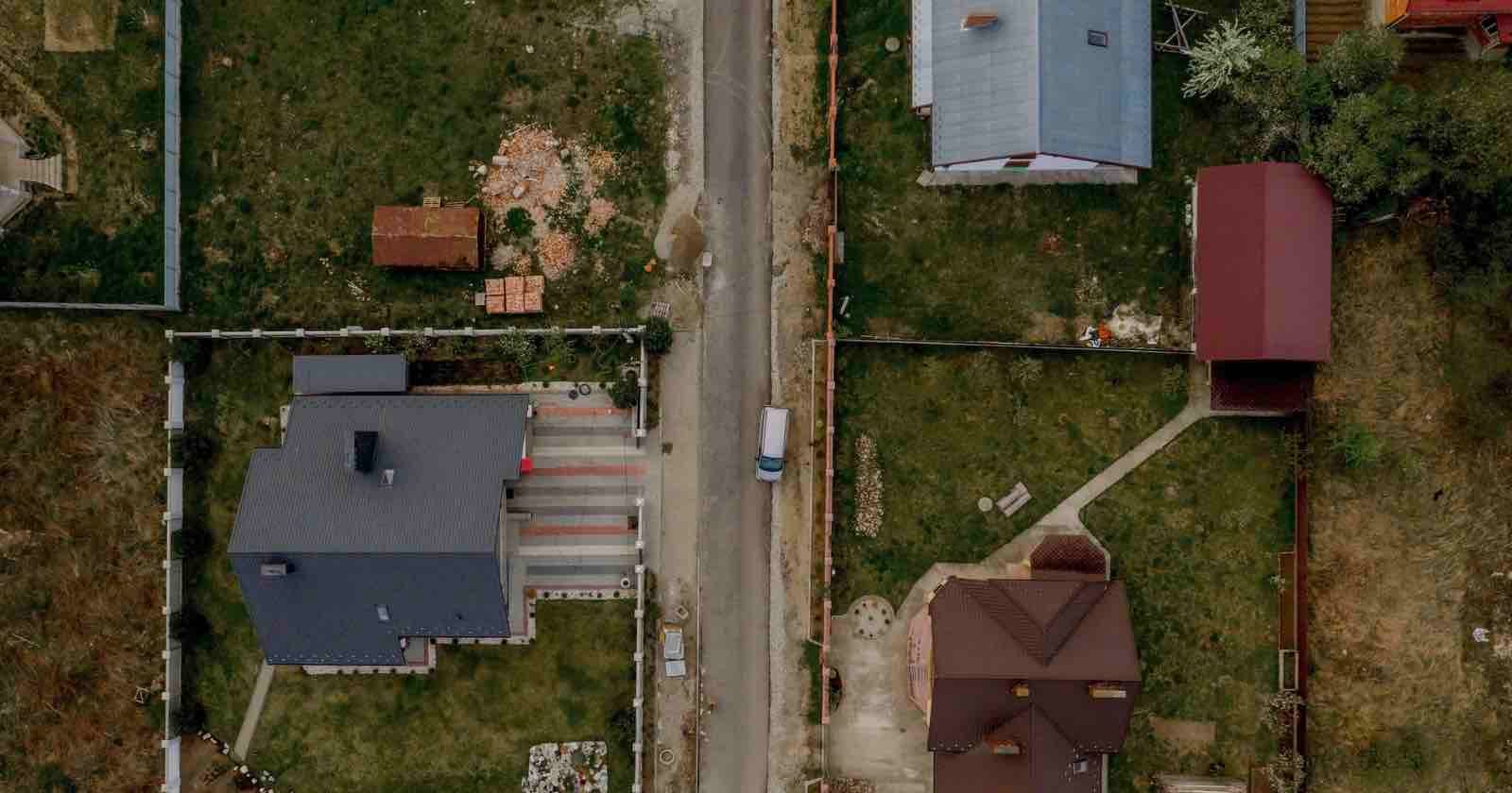
Oklahoma May Use Aerial Imagery to Assess Property Taxes
via PetaPixel
auto_awesomePixelfetch Take
If you shoot aerial or real estate, this is a quiet signal worth tracking — governments using overhead imagery for tax assessment means growing demand for high-quality aerial data, and where government leads, commercial contracts often follow. Not actionable today, but the direction of travel is clear.
Read full articlearrow_outwardon PetaPixel
Related
Industry News
Photographer Risks His Life at Bondi. Network Runs His Shots. Pays Nothing.
Industry News
EssilorLuxottica Reportedly in Talks to Acquire Nikon
Industry News
Court Rejects 'AI Could Have Made It' Copyright Defence
Industry News
Nikon Stock Skyrockets Amid Rumors of a Sale
Industry News
Arri Acquired by German Entrepreneur Thomas Riedel
Industry News
Fujifilm Discontinuing RA4 Analog Paper
More from PetaPixel
Stay ahead of the curve
Get the Pixelfetch digest delivered to your inbox every morning.